The things we love, drawn as data.
Topographic prints of British and Irish golf courses, drawn from government surveys at one metre where they exist. Every print states its source. Each course a genuine edition of 50, made to order in Britain.

Founder’s Edit
Twelve I would hang first. Not the most famous courses, though some are — the ones where the ground does something the eye misses from the tee, and the survey caught it. Dunes at County Down and Dornoch, the cliff at Castle Stuart, the raised beach at Ballybunion, a heath at Sunningdale drawn in the same ink as the links. Each is an edition of 50.
Drawn by Jac Ellis Jones, Wrexham.
-
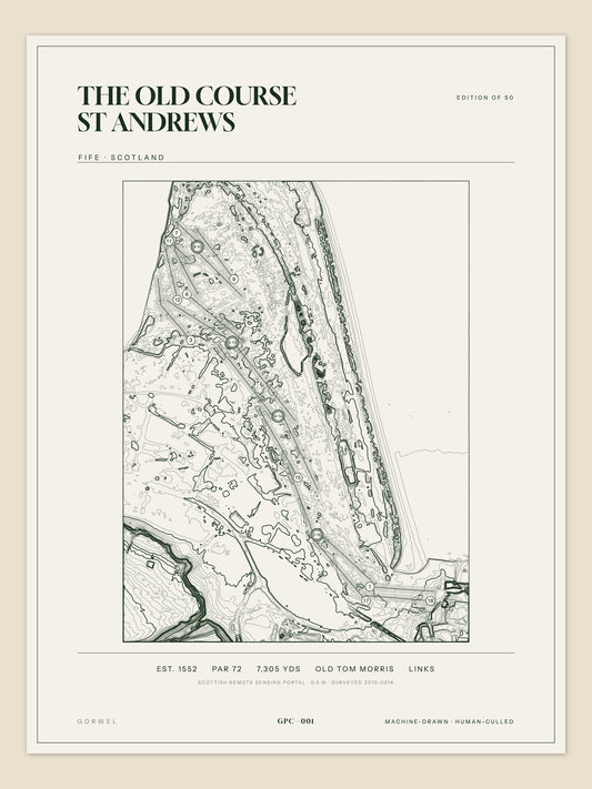
The Old Course St Andrews, Fife
Regular price £55Regular price -
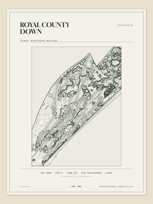
Royal County Down, Down
Regular price £55Regular price -
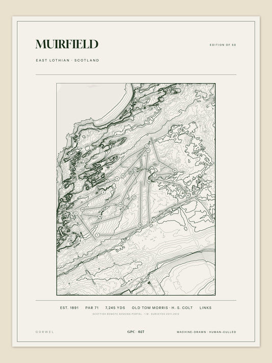
Muirfield, East Lothian
Regular price £55Regular price -
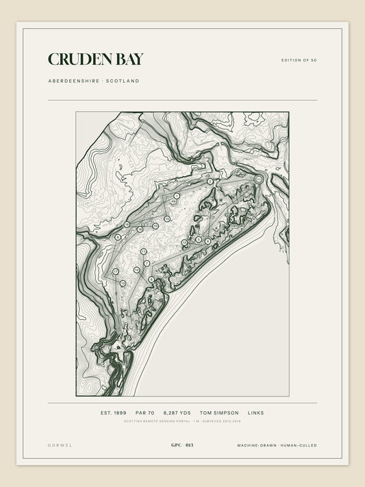
Cruden Bay, Aberdeenshire
Regular price £55Regular price -
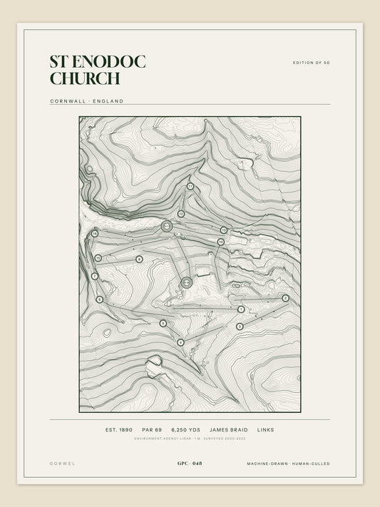
St Enodoc Church, Cornwall
Regular price £55Regular price -
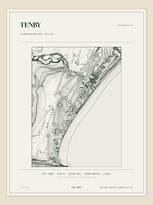
Tenby, Pembrokeshire
Regular price £55Regular price -
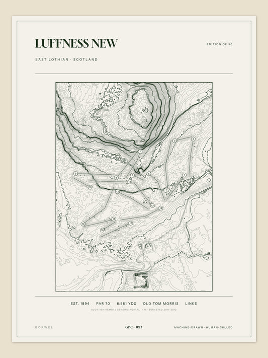
Luffness New, East Lothian
Regular price £55Regular price -
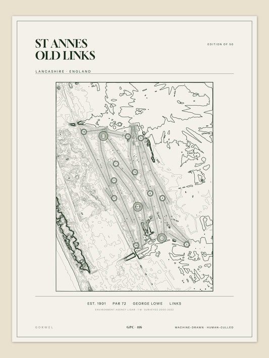
St Annes Old Links, Lancashire
Regular price £55Regular price








Edition of 50 · 310gsm cotton rag · Made to order in Britain · Free UK delivery
Machine-drawn. Human-culled.
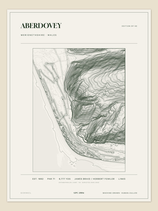
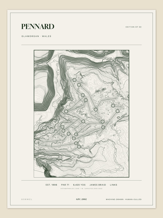
The government flies laser surveys of the country and publishes them — a height reading for every square metre. We draw what they measured beneath the fairways: every dune ridge, every hollow, every fold the eye misses from the first tee.
Then every sheet is checked by hand. If the drawing doesn’t hold, it doesn’t ship.
Dunes
Where the survey earns its keep. A dune links has more vertical in a hundred yards than a parkland course has in eighteen holes, and at one metre the laser catches all of it: the ridge lines, the blowouts, the hollows you only find on a Sunday. County Down and Dornoch are the obvious ones; Cruden Bay, Castle Stuart and St Enodoc are the ones people don’t expect to look like this. Each is an edition of 50.
Drawn by Jac Ellis Jones, Wrexham.
-
Royal County Down, Down
Regular price £55Regular price -
Cruden Bay, Aberdeenshire
Regular price £55Regular price -
St Enodoc Church, Cornwall
Regular price £55Regular price -
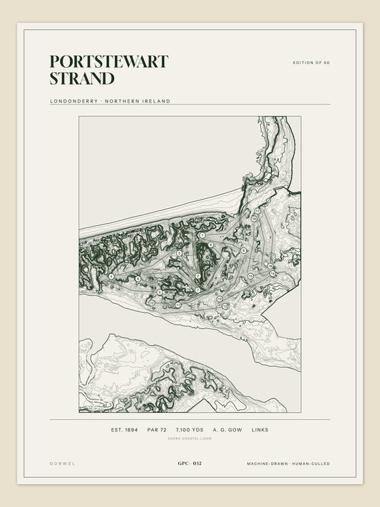
Portstewart Strand, Londonderry
Regular price £55Regular price

From survey to wall
-
The survey
1-metre LIDAR from the Environment Agency, DataMapWales and the Scottish Remote Sensing Portal. Every print states its source.
-
The drawing
Elevation rendered as contour lines in one dark green ink. Nothing added that the ground didn’t put there.
-
The cull
Every sheet judged by eye against one question: would it hold its own in a gallery? If not, it doesn’t ship.
-
The print
Archival giclée at 300 dpi on 310gsm cotton rag. Edition of 50. Rolled in a tube, or framed and ready to hang.
The Open Rota
-
The Old Course St Andrews, Fife
Regular price £55Regular price -
Muirfield, East Lothian
Regular price £55Regular price -
Royal Portrush Dunluce Links, Antrim
Regular price £55Regular price -
Royal Lytham & St Annes, Lancashire
Regular price £55Regular price

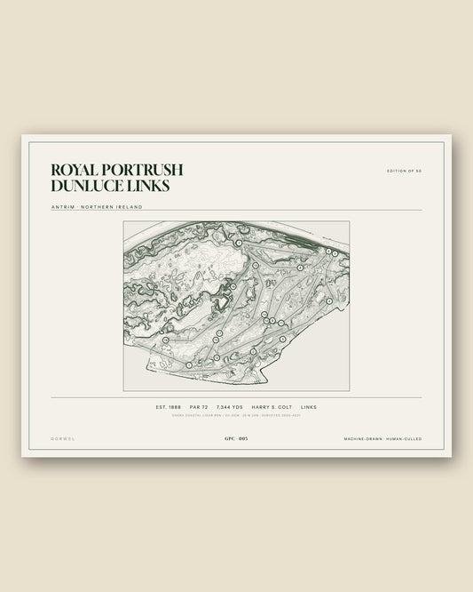

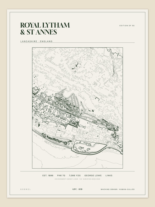
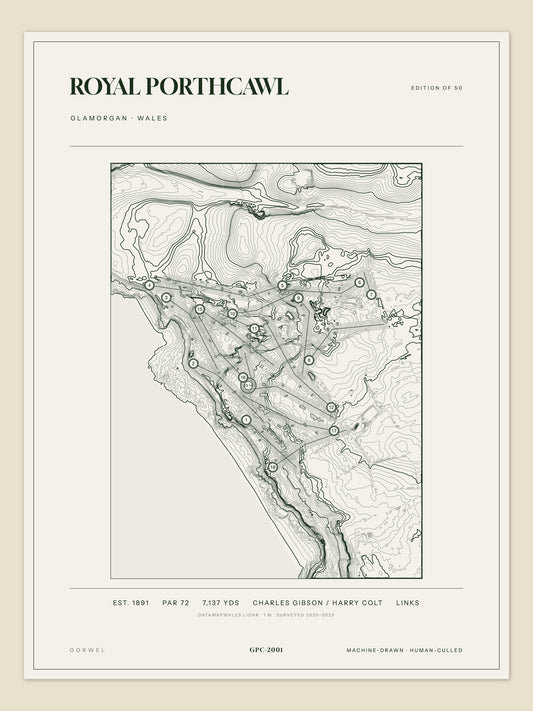
Every print carries its data strip.
Founding year, par, yardage, architect and terrain, compiled from club records and archives, with the historic county and the survey the print was drawn from. If we’ve got one wrong, tell us and we’ll correct the plate.
EST. 1889 · PAR 71 · 7,186 YDS · OLD TOM MORRIS · LINKSWales
Gorwel is Welsh for horizon, and this is where the prints come from. Porthcawl on its headland, Harlech under the castle, Aberdovey along the estuary, Tenby — the oldest club in Wales — on its dunes, Pennard on the cliffs above Three Cliffs Bay. Eight for now, drawn from DataMapWales LIDAR at one metre. More to come; the north is next. Each is an edition of 50.
Drawn by Jac Ellis Jones, Wrexham.
-
Royal Porthcawl, Glamorgan
Regular price £55Regular price -
Aberdovey, Merionethshire
Regular price £55Regular price -
Tenby, Pembrokeshire
Regular price £55Regular price -
Pennard, Glamorgan
Regular price £55Regular price





Can’t find your course?
Every course we have drawn is searchable by name. If yours isn’t here yet, email jac@gorwelprintco.com and we’ll check whether the survey exists.