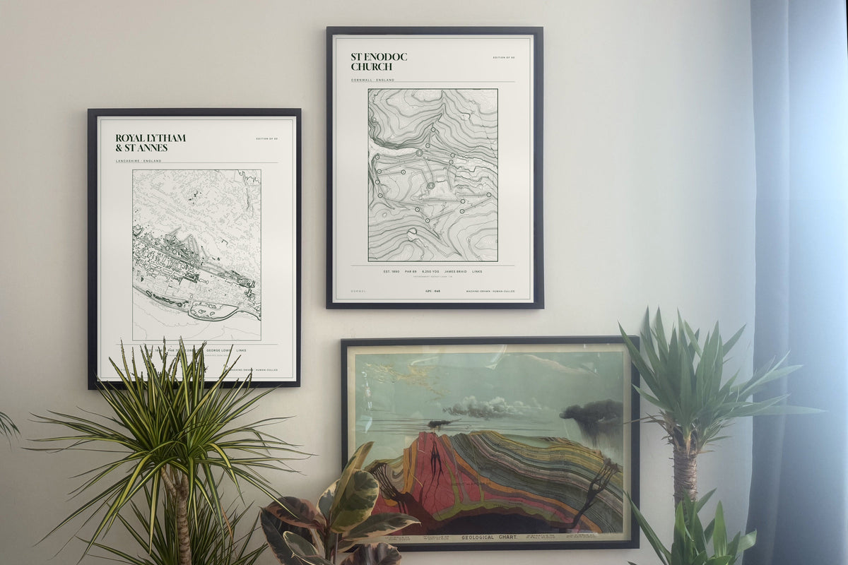
Room images are composites, shown for scale.
Drawn by Jac Ellis Jones, Wrexham
Royal Lytham & St Annes, Lancashire
Royal Lytham & St Annes, Lancashire
Edition of 50 · made to order · dispatched in 3–5 working days (framed 5–7)
Couldn't load pickup availability
Royal Lytham & St Annes, Lancashire · England. Topographic contour art drawn from government elevation survey data — Environment Agency LIDAR at 1 m, with the source stated on the print. Every course is a genuine edition of 50.
Data strip: EST. 1886 · PAR 70 · 7,086 YDS · GEORGE LOWE · LINKS
Archival giclée on 310gsm cotton rag, 300 dpi. 46 × 61 cm (18 × 24 in — fits a standard 18 × 24 in frame) or 61 × 81 cm (24 × 32 in — best in our frame or a custom one). Unframed prints ship rolled in a rigid tube; framed prints ship flat in a black frame, ready to hang. Made to order: unframed prints are dispatched within 3–5 working days; framed prints are assembled by hand and dispatched within 5–7. Free UK delivery.
Drawn by Jac Ellis Jones, Wrexham.
Sizes & framing
Sizes & framing
46 × 61 cm (18 × 24 in), which fits a standard 18 × 24 in frame, or 61 × 81 cm (24 × 32 in). Framed prints come in a black frame, ready to hang. Landscape and panoramic courses are listed with their own sizes.
Delivery & returns
Delivery & returns
Made to order: unframed prints are dispatched within 3–5 working days, framed prints within 5–7. UK delivery is free and tracked; international is a flat £8. Unframed prints travel rolled in a rigid tube, framed prints flat with corner protection. If it arrives damaged, email a photo within 7 days and we replace it. 14-day returns on undamaged prints.